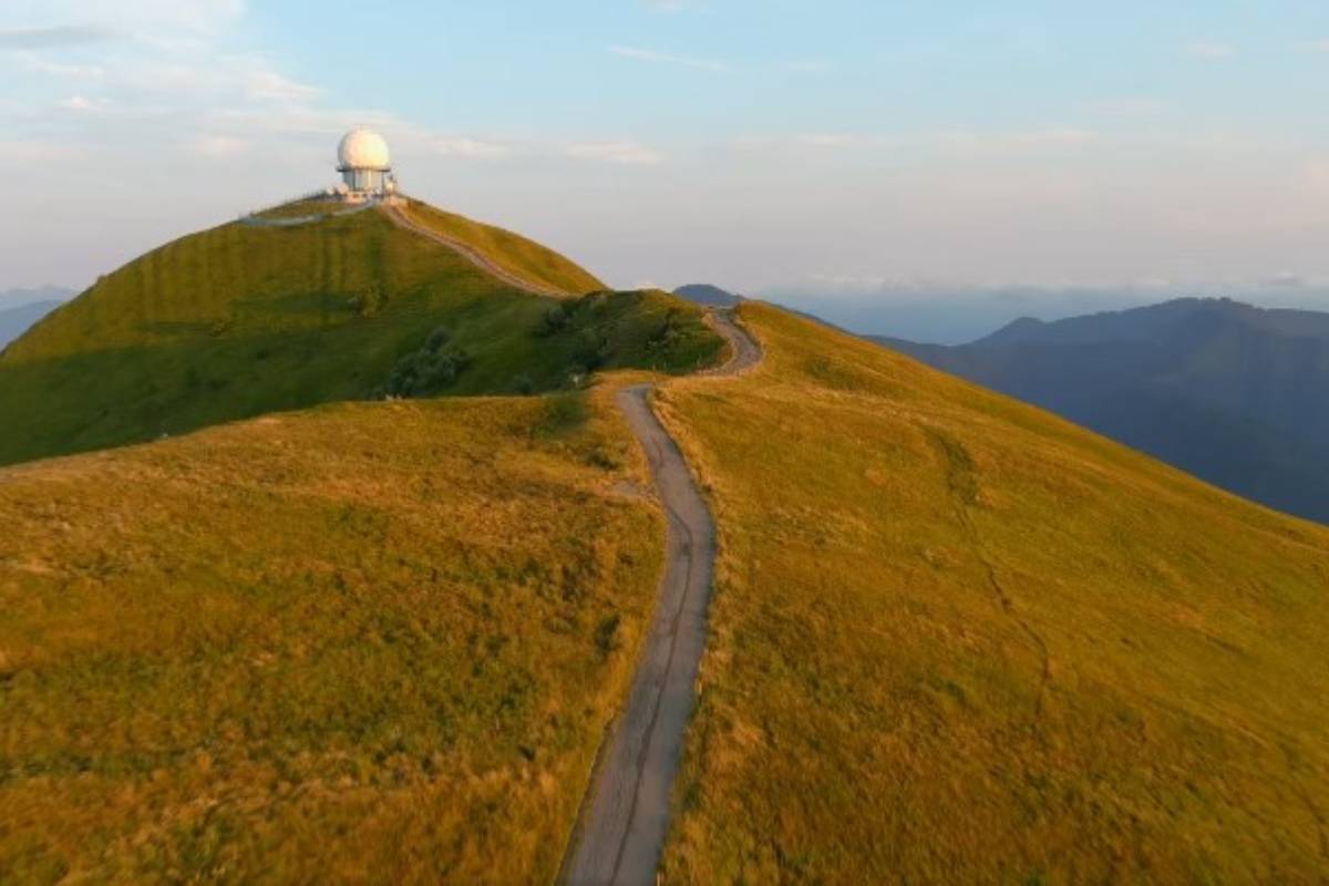
Located at the southernmost tip of Lombardy, Monte Lesima (1,724 m) is the highest peak in the Trebbia Valley and is distinguished by its characteristic radio beacon at the summit, used for air navigation. The Lesima Loop Trail offers a varied and fascinating route through forests, grassy ridges, and spectacular views of the Alps, the Ligurian Apennines, and the Po Valley.
Trail Features
- Distance: Approximately 10 km
- Duration: 1 hour and 20 minutes
- Elevation Gain: Significant, with steep and challenging sections
- Trail Markings: CAI 101 and CAI 123 (Lesima Loop)
The Lesima Loop Itinerary
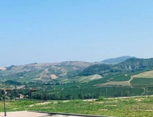
The hike begins at Passo La Colla (1,350 m), where several trail signs can be found, including CAI 101, which leads towards Monte Lesima–Passo Giovà. Leaving the paved road, you take the marked red-and-white trail, immediately entering a dense woodland with a steep climb leading to the top of Monte La Colla (1,438 m), which is entirely forested. After a short descent, the trail emerges from the woods and crosses meadows until reaching the summit of Monte Terme (1,489 m), offering breathtaking views of the Avagnone stream valley and Piani di Prodongo (1,185 m), an area rich in wide pastures and with a nearby restaurant.
From here, the trail descends again to Passo della Ritorta (1,448 m), parallel to the paved road leading to Passo del Giovà. Continuing the ascent, you reach Colle del Terme, where a junction appears: CAI 101 continues to the right, cutting across the slopes of Monte Tartago, but the Lesima Loop follows trail 101Y, which turns left and climbs steeply to the summit of Tartago (1,685 m).
After crossing the grassy ridge, the trail reaches the paved section leading to the radio beacon, then continues along a small grassy ridge that houses the iron cross at the summit of Monte Lesima (1,724 m). From here, the panorama is spectacular: on clear days, you can see from the Po Valley to the Western Alps, and as far as the Ligurian Apennines, including the peaks of Antola and Val d’Aveto.
The Descent
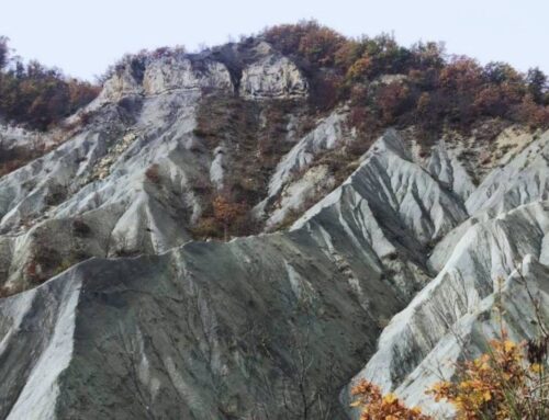
After admiring the view from the summit cross, the descent begins on the eastern slope of the mountain, following a rough mule track with a few red-and-white markers labeled “Anello del Lesima” (CAI 123). The trail crosses pastures with a striking view of the rock layers on Lesima’s eastern face, before re-entering the forest. Here, the route follows tree markings, crosses a clearing, and eventually meets the Brallo-Zerba paved road (1,330 m).
Turning left onto the asphalt road, the trail follows a series of gentle ups and downs towards Prato Cavanna, then gradually descends to Pian di Lesima (1,190 m). Just before reaching Albergo Prodongo, near a tennis court, a dirt track with a slight incline leads back to the starting point at Passo La Colla.
Conclusion
The Lesima Loop is a perfect hike for those looking for a varied trail with breathtaking views. The combination of wooded sections, high-altitude meadows, and panoramic vistas over the surrounding valleys makes this experience unique and unforgettable. Ideal for trekking and photography enthusiasts, this itinerary is one of the most spectacular hikes in the Northern Apennines.